Allston I-90 Interchange Public Realm Plan
Boston, MA
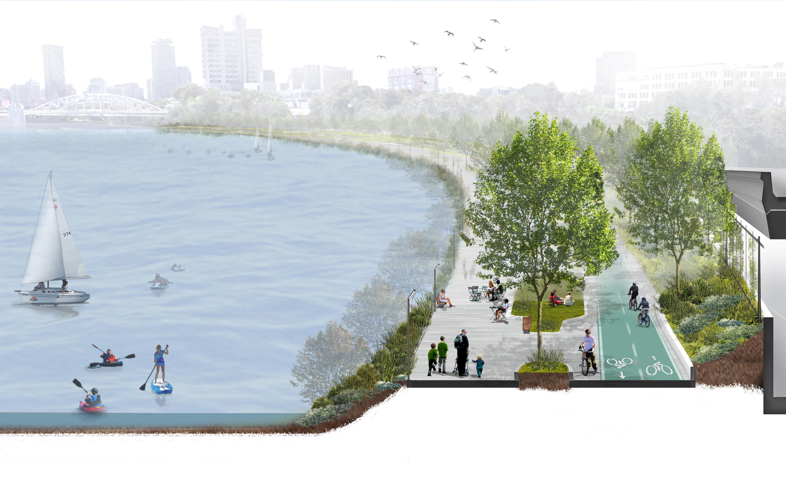
This infrastructure reconstruction plan expands green space and pedestrian connections to the Charles River from the Allston neighborhood while improving vehicular and rail throughput.
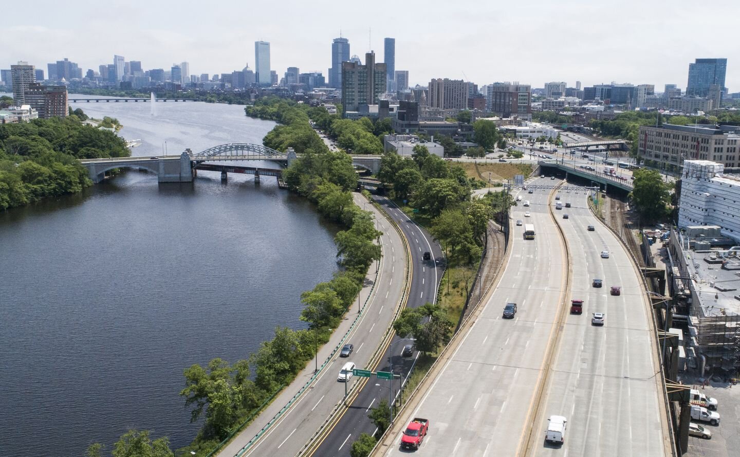
Interstate 90 and adjacent railroad infrastructure in the Allston neighborhood of Boston provides critical multimodal access to the city and region and is in need of modernization and reconstruction. Sited along the Charles River, this infrastructure has also long been a physical barrier to the riverfront. When the Massachusetts Department of Transportation began assessing conventional build in kind options to replace the highway viaduct and rail infrastructure, the Allston neighborhood desired a more robust approach to the project. The Department then looked to independent outside consultants to provide a comprehensive peer review of the reconstruction alternatives. As part of this peer review, an innovative plan was developed for a vertically stacked reconstruction alternative that addressed vehicular and rail throughput plus ideas for expanding green space and pedestrian access to the Charles River from the Allston community.
Role
Local Form Studio’s Christopher Riale led the development of an urban design solution that retains the key mobility functions of the highway and railroad while creating new pedestrian connections and adjacent riverfront public space for the community. This public realm plan drove the engineering of the highway and railroad reconstruction plan and became the preferred alternative for the reconstruction of this section of the I-90.
* Work completed by Christopher Riale while employed with Arup.
Client
Massachusetts Department of Transportation (MassDOT)
Scale
2,000 linear feet of highway, rail, and multi-use path along the Charles River in the Allston neighborhood
Key Services
Corridor Planning
Multimodal Mobility Planning and Design
Year: 2018 - 2019


