South Milwaukee Avenue Corridor Plan
Niles, IL
This corridor plan envisions a phased, three-prong land use and development approach that forges a vision of the future for the Village of Niles’ main commercial spine.
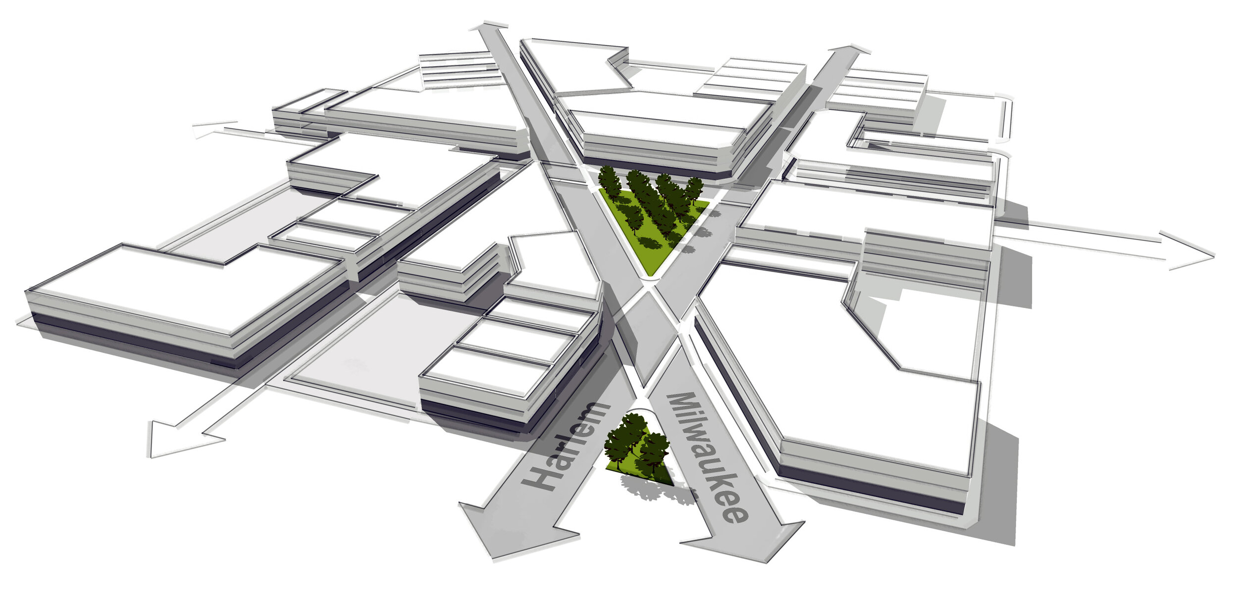
The auto-centric, two-mile Milwaukee Avenue Corridor in Niles, from Albion Avenue to Monroe Street, currently lacks a discernible identity, cohesive urban fabric, and rational organization of land use and building form. After extensive research and analysis of the corridor’s land use, circulation, and development characteristics, a phased, three-prong land use and development approach was created that forges a vision for the future of Niles’ main commercial spine.
In combination, the three scenarios (the third of which shown here) establish a logical sequence of potential redevelopment strategies, identifying site assembly options, redevelopment opportunities, and transit improvements that could occur within a 20-year time frame. Each of the three scenarios could serve as a stand-alone vision for the future, however the three-phased scenario approach represents a continuum of development potential, with the most aggressive scenario being the product of the implementation of the first two.
Role
Local Form Studio’s Christopher Riale led the visioning and concept development, and created the plan and perspective renderings to illustrate potential build-out, circulation improvements, and zoning recommendations for each scenario. This has enabled the project Steering Committee to make informed decisions regarding land use and zoning changes to advance the vision.
* Work completed by Christopher Riale while employed with Camiros, Ltd.
Client
Village of Niles
Scale
2.5 mile corridor
Key Services
Corridor Planning
Urban Design
Zoning and Development Controls
Year: 2013 - 2014


